Geotechnical surveys of residential and industrial buildings
The stage of engineering-geological and hydro-geological surveys is one of the most important in the design process of all residential and industrial buildings. The optimal design solution depends to a large extent on their completeness, conclusions and recommendations. In the process of work, we have always strived for in-depth communication with the client in our desire to be helpful with accurate and clear recommendations from the offer to the moment of ground base reveal in the excavation.
We approach each site individually, depending on the constructional features of the building (number of floors, depth of the excavation and the presence of other buildings in the vicinity), choosing the optimal number, location and depth of the exploration works. To study your terrain, we perform boreholes, test pits with an excavator, dynamic penetrations, plate load tests, geophysical surveys and filtration tests to determine the properties of the geological layers.
Geological surveys of multi-storey residential and office buildings
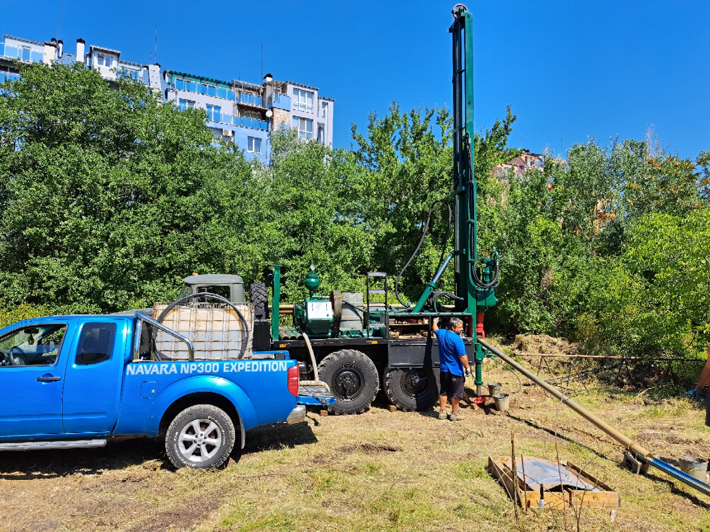
For the geotechnical study of multi-storey residential and office buildings, it is necessary to make exploratory core boreholes. Compared to the test pits (shallow pits by excavator), where a depth of 3.00 – 4.00 m can be reached, drilling can provide information on the geological structure tens and hundreds of meters below the ground. We agree with the client’s design team on the number, depth and location of the boreholes.
The above parameters are not determined on a random basis. There is a precise methodology determined by the chamber of engineers in investment design. It is based on the long-term experience of leading specialists in the country and abroad, and we respect it. In other words, there is no way to study an eight-storey building with underground levels with one shallow borehole or with test pits, since their depth will not cover the active zone of stress distribution under the foundation.
From our many participations in projects with clients from abroad, we have realized over time that the presentation of the work we have done is something very important, and for this reason we make continuous efforts to improve our services.
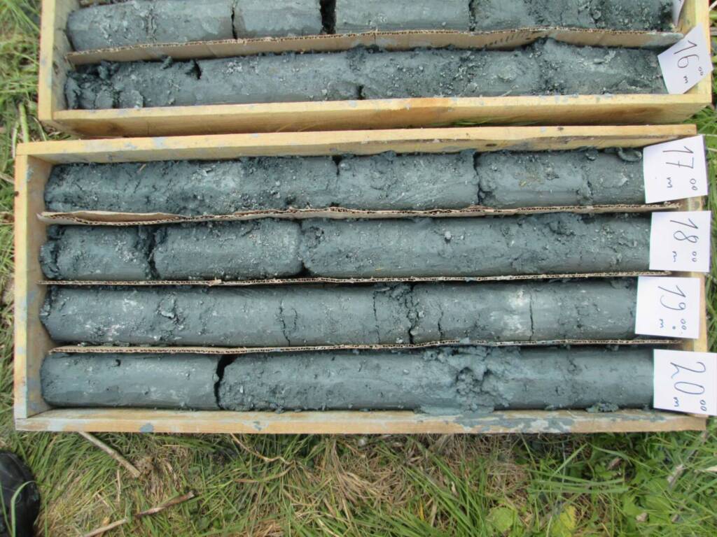
The material extracted from the boreholes (the so-called drill core) is carefully placed in wooden boxes with marked depths and photographed in high resolution. In this way, the structural engineers who design your building can get a real idea of the layers on which they will place the foundation.
From each found geological layer (gravel, sand, clay or rock) a sufficient number of samples are taken and tested in a geotechnical laboratory.
In this way are defined the soil parameters, according to which the engineers design your residential or office building.
– Oversizing the structure, resulting in significant additional and unnecessary costs for concrete and rebar,
incomparably higher than the cost of a quality geological survey.
– Risks from uneven subsidence of buildings and the resulting deformations.
– Risks of excavation flooding and compromising the excavation reinforcement structure, due to an incorrectly determined earth pressure.
Geological surveys of industrial building projects
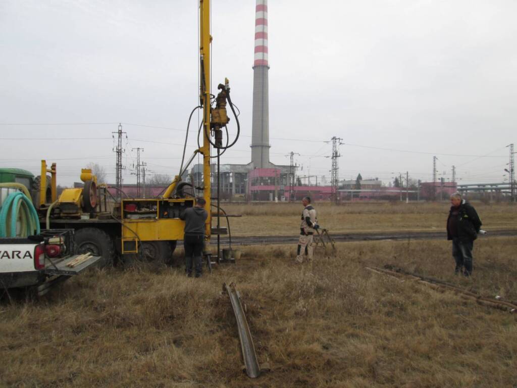
Interest in such projects is becoming more and more serious. Given the huge variety of their components – production and administrative parts, road and railway connections, drilling wells for operational and fire protection needs, parking lots, warehouses, cable and pipe routes, substations, pumping stations and others, the required volume of research works is also increasing.
Depending on the specifics of the project, our team can offer the entire range of specialists and equipment needed to clarify the geological conditions in the area of your production or logistics complex.
If it is necessary to provide water sources from underground water, we can offer their research, design, registration in the Basin Directorate, construction, equipment, legalization, technical support and monitoring of water.
Geological surveys of family houses
Geological surveys for low-rise single-family residential buildings do not necessarily have to be expensive and performed in large volumes, but they must be actually carried out.
Based on our long-term experience and depending on the specifics of the project, we offer an optimal number of exploration works under our control, which are sufficient to clarify that part of the ground base that interests us. We usually aim for a survey with a depth of 3.00 – 4.00 m.
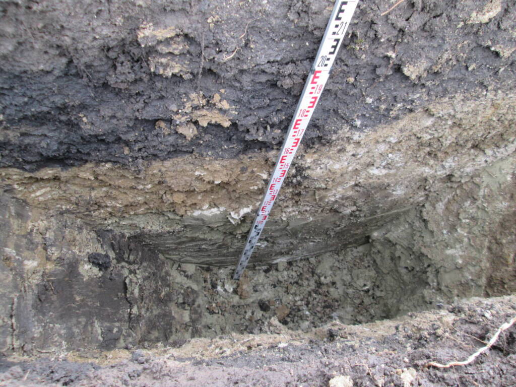
When it comes to the study of houses – single or of an entire residential complex, in most cases, under simple geological conditions, this can be done by mechanized digging of test pits. The pits are photographed and described. Soil samples are taken and tested from them.
Our experience, especially in highland conditions, shows that each building must be studied individually, since quite often the geology is variable, even at short distances. In many cases, the ground base under a flat and grassy terrain with a wonderful view is made of heterogeneous embankments, soils with poor bearing capacity, construction waste, etc. During the survey, it is necessary to clarify the full thickness of the problem layers in question. If this is not within the capabilities of a combined excavator, it is necessary to make exploratory drilling.
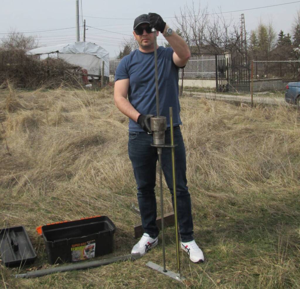
Parallel with the test pits, we explore each house with dynamic cone penetration. This is a method in which a weight is dropped from a fixed distance onto an anvil connected to a set of steel rods and a cone that penetrate into the soil to a specified depth with each impact of the weight.
In this way, the depth of the weak soils in the upper part of the geological section, in which it is dangerous to base your house, is very precisely determined. The test is not expensive, it gives very important information to your designers and it can save a number of problems in the construction and operation of your buildings.
In some more specific cases, to thicken the network of research points and to obtain additional information, we use geophysical equipment, which is used to make electrical resistance measurements on the ground. With their help, information on the apparent electrical resistance of each of the established layers is obtained and the geological profiles, that we apply in each of our reports are completed.
GeoStudio Bulgaria EOOD prepares high level geological reports, with a sufficient number of studies that provide the necessary information for the design of various buildings or facilities. The project documentation includes both text and graphic applications, as well as a photo report of the actual work done in the field.
In each of our developments, we provide construction recommendations, and you can contact us at any time for professional advice.

