Groundwater survey

Most users on the web are looking for a specialist to find groundwater for them. In slang, the service is called differently in our country. No matter how you prefer to call it, I am here to perform a quality service through a comprehensive preliminary hydrogeological survey, significantly reducing the risk of an expensive and unsuccessful water well drilling.

Hydrogeological Principles in Groundwater Exploration

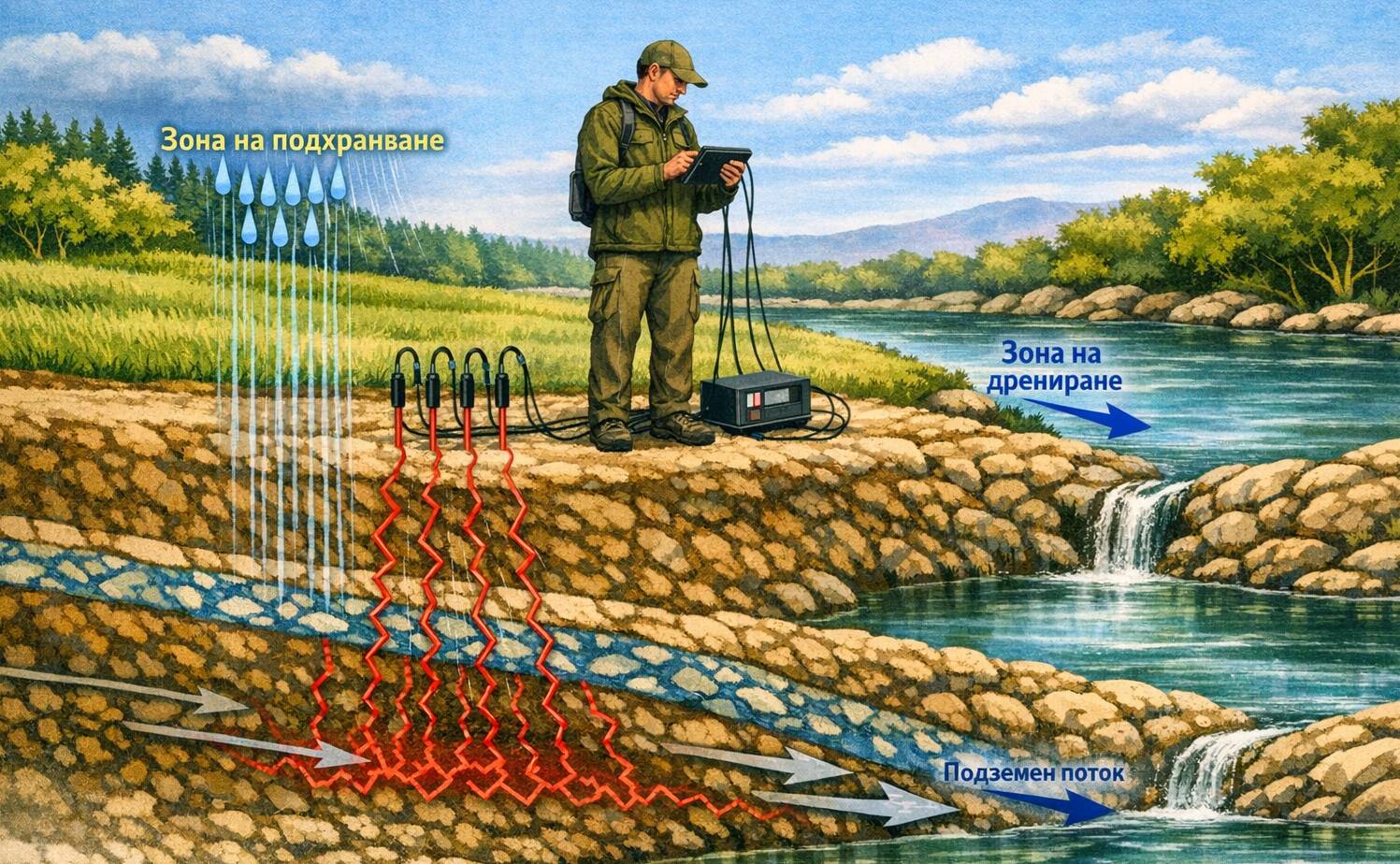
Despite the wide variety of modern equipment and methodologies, the most important thing for a good forecast is the knowledge of the processes in hydrogeology, the dynamics of groundwater, the conditions for their accumulation and drainage, based on the type of filtration strata and the head gradient. It sounds complicated, but believe me – it really can be. Sticking in electrodes and looking at colorful pictures is not enough.

The certificated hydrogeologist, whom you have trusted, must conduct a thorough preliminary analysis of the geological and hydrogeological conditions in the area of ​​your property in order to draw up a plan and select a technique for its hydrogeological prospecting.


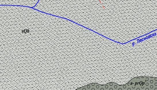
We work with geological and hydrogeological maps to know what materials we are working with.

Stages of Exploration

In order to qualitatively check your property regarding its potential for groundwater extraction, we go through the following stages:

    • We clarify with you what exactly you need – a borehole or shaft well, what you would like to use it for, location, etc.

    • Review of available geological and hydrogeological information for the area

  • Analysis of information from the Ministry of Environment and Water

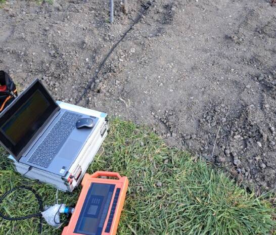
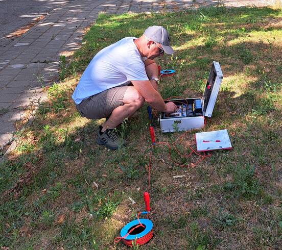
  • Field studies with up to three types of modern equipment, allowing for comparison of results and search for matches to minimize risk

  • Capture survey points with professional RTK GPS with centimeter accuracy

  • Preliminary comment during the survey on potentially promising points for the construction of your future well

  • In-depth analysis of the survey results in our office. The process requires some time to carefully review all the information.

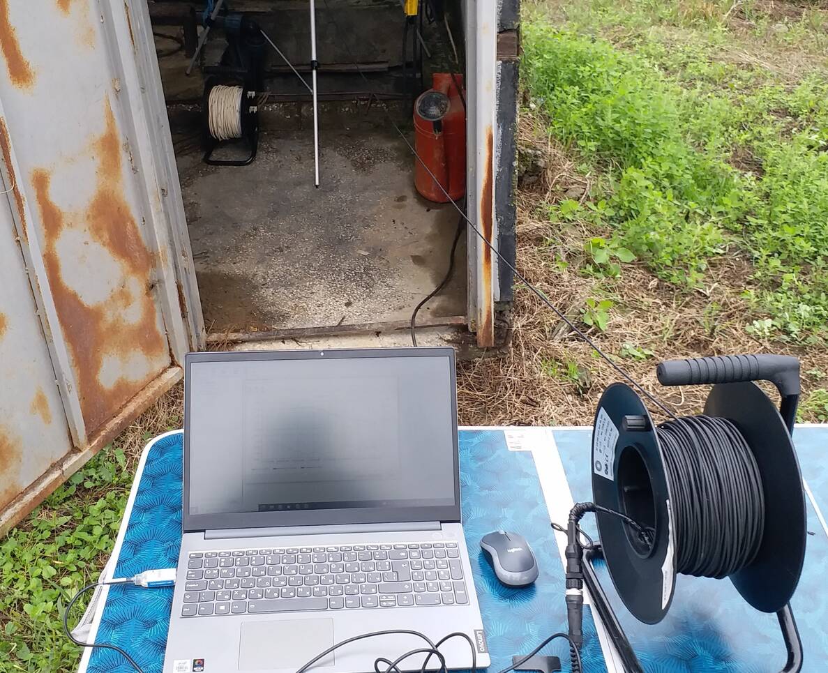
Multi-channel survey equipment for SP surveys
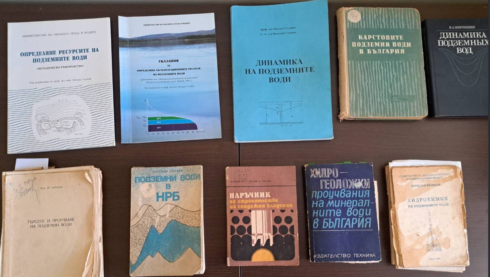
We all use the internet, but often the information from old books is not uploaded online, and we are passionate readers
  • Preparation of a survey report, including geological and hydrogeological conditions, processed survey data and a conclusion. If the results show that there is a prospect for building a borehole, we will indicate where in our opinion it is appropriate to build it and what its depth should be
  • We will assist you with the preparation of the necessary documents for registration with the Basin Directorate

I fully understand that each of you would like the borehole to be in a specific location on your property. Keep in mind that quite often the suitable water-saturated zones underground may not coincide with your wishes and we, as specialists, are obliged to inform you of this. The drilling site can be moved elsewhere on the property, but the appropriate hydrogeological conditions under the terrain cannot.

There are often questions about whether we can determine the flow rate of a well that has not yet been constructed, the temperature, the chemical composition of the water, etc. There is no short answer to this question. If there are existing wells nearby, a forecast can be made, but otherwise – no. There is no way to indicate in advance the flow rate of an unconstructed well in a property where drawdown pumping test have not been made in previously constructed wells.

The very wording “Flow rate of a water well” contains a number of assumptions. A given well may yield different flow rates at different water level drops in it.

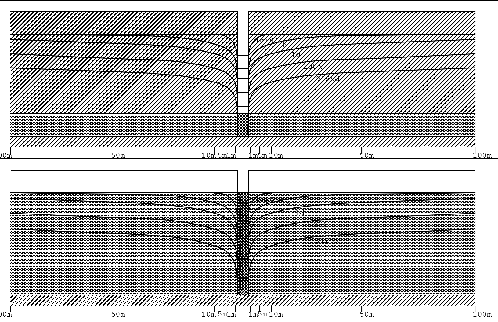
I made the above AutoCAD diagram to give you an idea of ​​the schematic of the operation of a given borehole in cross section. The above diagram is for a confined aquifer with piezometric dynamic water levels in the aquiclude. The diagram below is for an unconfined aquifer with a phreatic water level. It can be seen how after starting the pump, the wells create so-called “cone of depression”, draining part of the unconfined aquifer. Depending on the filtration mode – steady/transient, cones of depression may develop in different ways. In most cases of transient/quasi-steady filtration, drawdown increase over time/with increasing pump flow rate. When there is a recharge boundary, things are different.

This is where the hydrogeologist, with his knowledge and experience, should recommend an appropriate design of the water intake facility for the relevant hydrogeological conditions, so that it operates in optimal mode.

Each borehole well has a different design – depth, water intake intervals (filters), solid pipes, gravel backfill, tamping, settling tank, pump installation depth, pump type, filtration parameters of the aquifer, etc.

After survey, design, construction, airlift clearing, equipment and development, the hydrogeologist can perform pre-exploitation water pumping by measuring the flow rate and the drop in the water level in the borehole using electronic level gauges or data loggers in order to set the appropriate installation and pump mode.

Last but not least – we are aware that we are expected to “find water”. In case the analysis of the results shows low production potential with poor prospects – we will inform you even before you have made the investment, because trust is built with hard work and honesty, and drilling a well is not cheap at all and it is highly desirable that it works in the end.

Watch our videos on our YouTube channel, as well on the company’s Facebook page.

With Respect:

engineer geologist – hydrogeologist Daniel Mutafchiev +359 886 22 98 21

CEO of GeoStudio Bulgaria LTD

Full design qualification in parts: Hydrogeological, Engineering – geological, Ground base. Chamber of Investment Design Engineers (CIIE), regional association: Sofia – city. Registration No. 13815.